Efficient Data Analysis
We save our clients time and money on complex or tedious data analysis tasks. We have a suite of in-house automated data classification and labeling solutions and design custom tools using machine learning. If there’s a task you do repeatedly it might be time to consider automation.
Automated classification
It takes a long time to label spatial data whether it’s from a drone, plane or satellite. This takes time and money away from other activities that could be more impactful and profitable. Our automated landscape classification tools quickly and accurately segment and label vegetation, mud, gravel/sand, paved surfaces and water. Check out the case studies at the links below to learn more.
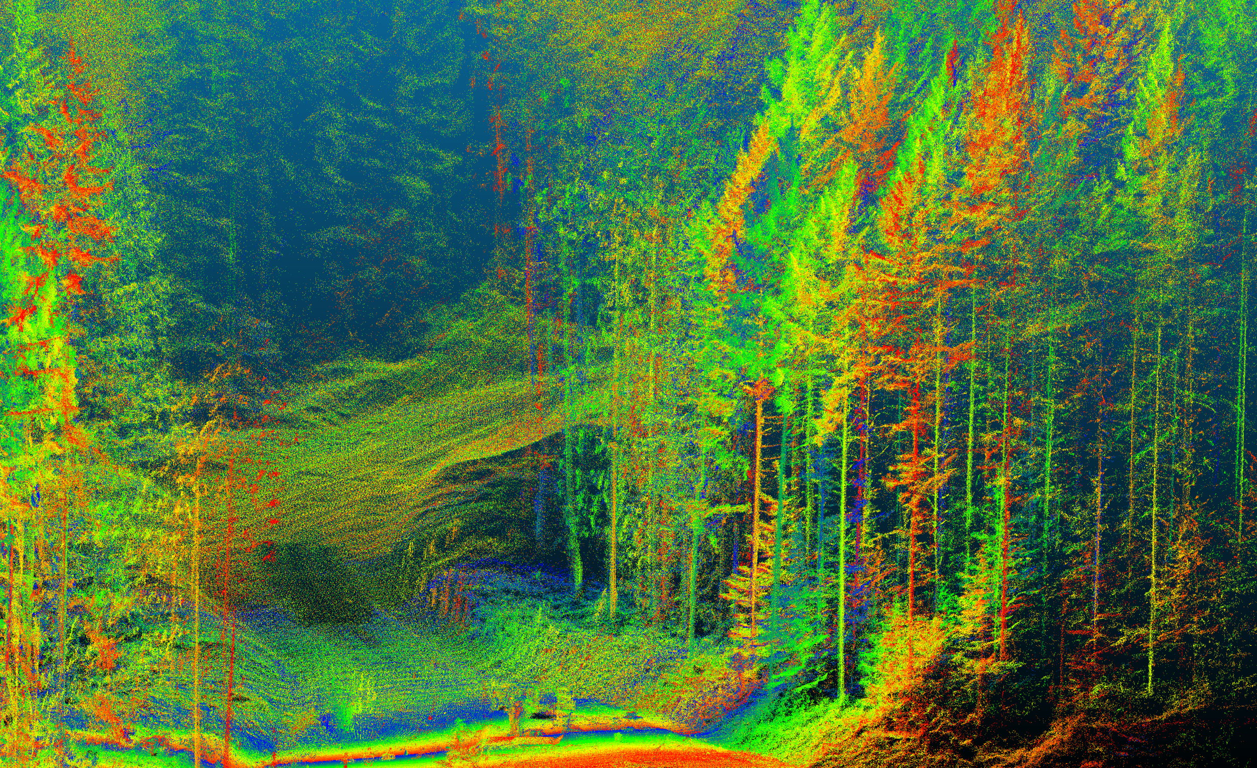
Forestry - Tree measurements and labels using LiDAR
Environmental Conservation - Estuary Resilience Metrics using Photogrammetry
Land Use Planning - Land Classification using Satellite Imagery
Change Assessment and monitoring
The environment is constantly changing. We help quantify this by providing detailed assessments of changing habitats, assisting with the planning and monitoring of earth works and construction projects, and monitoring forest regrowth. Check out the case studies at the links below to learn more.
Environmental Conservation - Storm Impacts in an Estuary
Mining - Gravel Quarry Volume Change Assessment


Custom tools
Efficiency is key in a competitive market. Automation and partial-automation of time consuming tasks can reduce costs, making companies more profitable and not-for-profits more impactful. Check out the case studies below to see how we’ve developed custom tools to help streamline our client’s workflows.
Land Management - Sensitive Ecosystem Inventory Automation in the Fraser Valley
Environmental Conservation - Automated Eelgrass Identification in British Columbia