Our Clients


We are experts in environmental problem solving
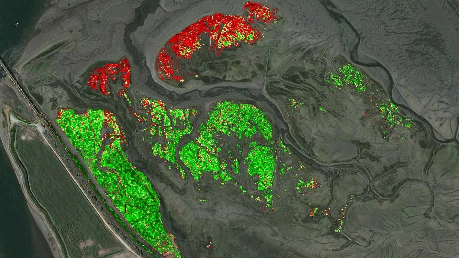
Efficient Data Analysis
Environmental professionals need to work through piles of data before they can finally make sense of a site. We help them get there faster by automating tedious, expensive tasks like labeling features in aerial imagery and LiDAR point clouds and providing custom data science solutions to suit their unique needs.
Precise Survey and Mapping
Great data leads to great insights. We use state-of-the art drone and GPS technology to produce high-quality maps and GIS assets for precise, detailed environmental assessments.
Powerful Communication Tools
The more you know about the world, the more amazing its story becomes. We use high quality cinematography, interactive 3D models and interactive data tools to help our clients get their stakeholders excited about the progress they’re making.
Explore Our Solutions
Data Analysis

Survey and Mapping

Communication
Have a project in mind?